
Build Siquijor days by direction and energy.
Use realistic one-to-five-day plans that protect ferry time, avoid route overlap, balance waterfalls with beaches, and leave space for weather and unplanned island stops.
The essential answer
Plan Siquijor Itinerary around the real journey
Siquijor Itinerary is best understood as an island journey that works best when days are grouped by coast, municipality, physical intensity, and the location of the hotel. It is strongest for travelers who want a clear but flexible sequence for beaches, waterfalls, heritage, snorkeling, food, and recovery time. Reconsider a plan built around crossing the island repeatedly, placing the hardest waterfall after a long coastal loop, or treating arrival and departure days as full sightseeing days.
See the island clearly
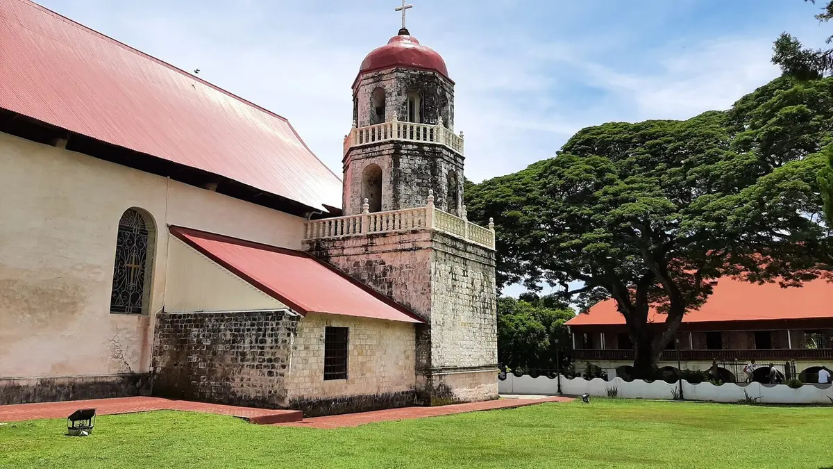
What the first photograph leaves out
The practical route is to begin each day from the hotel, follow one directional cluster along the circumferential or inland roads, and return before fatigue or darkness changes the risk. Possible activities include a San Juan and southwest day, a Lazi and Cambugahay day, an eastern-coast route, a marine day, and a protected rest or weather-buffer day. The island rewards calm planning because a short map distance can still involve port procedures, slow roads, weather, stops, and different levels of physical effort.
Trip planning
How much time to allow
For most visitors, three full nights as a useful minimum, with five days allowing separate coastal, heritage, marine, and rest experiences. Travel applications can underestimate preparation, stops, road speed, registration, equipment, walking, and the time needed to find a meeting point. Add a meaningful buffer at both ends. A buffer is not empty time; it protects the experience from becoming a race.
Trip planning
Getting there from Dumaguete
The broad route is to begin each day from the hotel, follow one directional cluster along the circumferential or inland roads, and return before fatigue or darkness changes the risk. Confirm the exact pin with the person providing transport. Similar attraction names and unofficial map entries can send a driver to the wrong gate, barangay, shoreline, or trail. Save the contact details offline and take a screenshot of the agreed meeting point.
Avoid route overlap
Build each day around one side of the island
Arrival day
Keep the first day light. Collect luggage, meet transport, check in and confirm the next day’s route. A delayed ferry should not destroy a prepaid circuit. A nearby meal, beach or sunset stop is usually safer than a distant waterfall.
South and west day
Group stops that naturally follow the same road, allowing time for swimming, changing clothes and meals. Do not count map-driving time as the entire visit. Remove a stop when the group is enjoying one place rather than racing to preserve a list.
North, east or departure day
Use another day for places on the opposite side, or choose a shorter route that ends near the departure port. Confirm ferry check-in time before adding a final attraction. Keep luggage storage and transfer arrangements explicit.
Choose your base
Not sure which hotel fits your plans?
Tell us about your trip and Dumaguete Compass will narrow down suitable hotels using your preferences.