
Choose Siquijor attractions that fit the day.
A decision-focused guide to waterfalls, beaches, marine areas, heritage sites, forest stops, and the tradeoffs that attraction lists usually leave out.
The essential answer
Plan Siquijor Tourist Spots around the real journey
Siquijor Tourist Spots is best understood as a varied collection of natural and cultural places spread around the coast and interior rather than one concentrated sightseeing district. It is strongest for visitors choosing a smaller number of meaningful stops based on route, access, physical ability, conditions, and personal interests. Reconsider a plan built around stopping only for photographs, ignoring swimming or trail risks, or assuming every famous attraction has the same opening status and facilities.
See the island clearly
What the first photograph leaves out
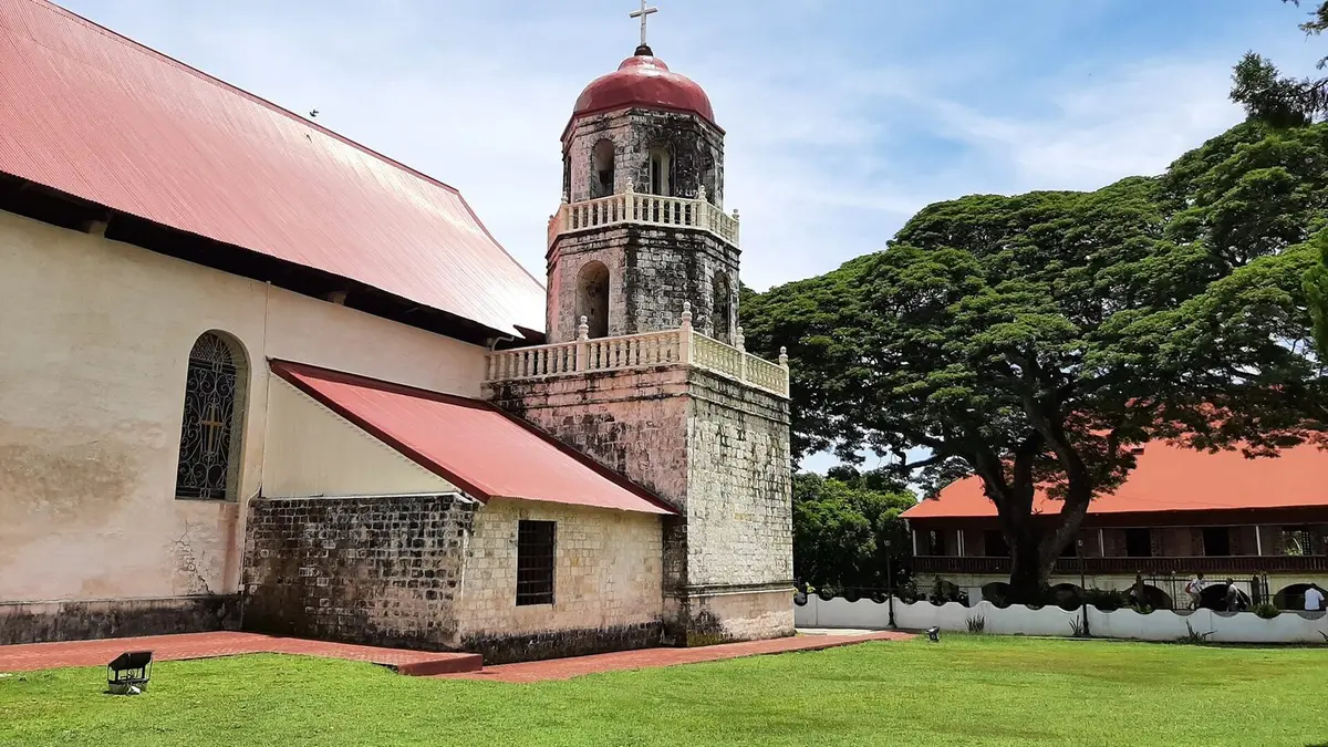
The practical route is to group places by municipality and road direction, confirm the current access status, and put the most condition-sensitive or physically demanding stop first. Possible activities include Cambugahay Falls, Lazi Church and convent area, beaches, marine sanctuaries, coastal viewpoints, forest and cave experiences with appropriate guides. The island rewards calm planning because a short map distance can still involve port procedures, slow roads, weather, stops, and different levels of physical effort.
Trip planning
How much time to allow
For most visitors, two or three full sightseeing days plus separate arrival, departure, or rest time for a first visit. Travel applications can underestimate preparation, stops, road speed, registration, equipment, walking, and the time needed to find a meeting point. Add a meaningful buffer at both ends. A buffer is not empty time; it protects the experience from becoming a race.
Trip planning
Getting there from Dumaguete
The broad route is to group places by municipality and road direction, confirm the current access status, and put the most condition-sensitive or physically demanding stop first. Confirm the exact pin with the person providing transport. Similar attraction names and unofficial map entries can send a driver to the wrong gate, barangay, shoreline, or trail. Save the contact details offline and take a screenshot of the agreed meeting point.
Choose fewer, better stops
Match attractions to weather, mobility and direction
Waterfalls and swimming areas
Access can involve steps, wet surfaces and changing water conditions. Ask locally about current opening, entry rules and guide arrangements. Bring suitable footwear and do not leave valuables unattended while swimming.
Beaches and marine stops
Beach quality, tide and swimming conditions vary by place and time. A famous photo point may not be the best stop for every traveler. Snorkel only where current conditions and local guidance support it, and avoid touching coral or wildlife.
Heritage and forest stops
Dress and behave respectfully at churches, community sites and culturally significant places. Group nearby stops instead of crossing the island for isolated pins. Use the last hour of daylight for the return journey, especially when traveling on smaller interior roads.
Choose your base
Not sure which hotel fits your plans?
Tell us about your trip and Dumaguete Compass will narrow down suitable hotels using your preferences.